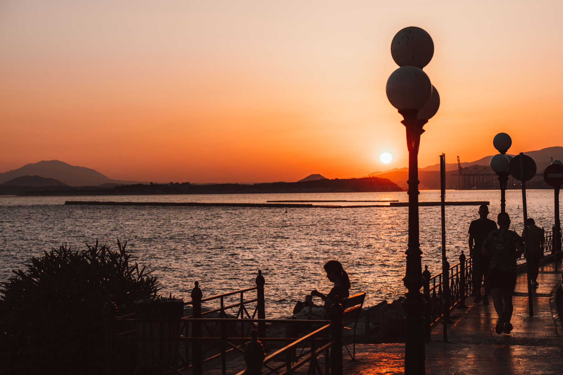
Sunset in Piraeus
Sunset in Piraeus
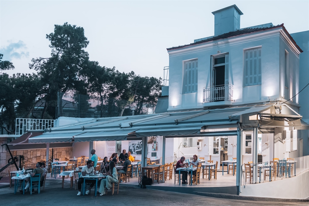
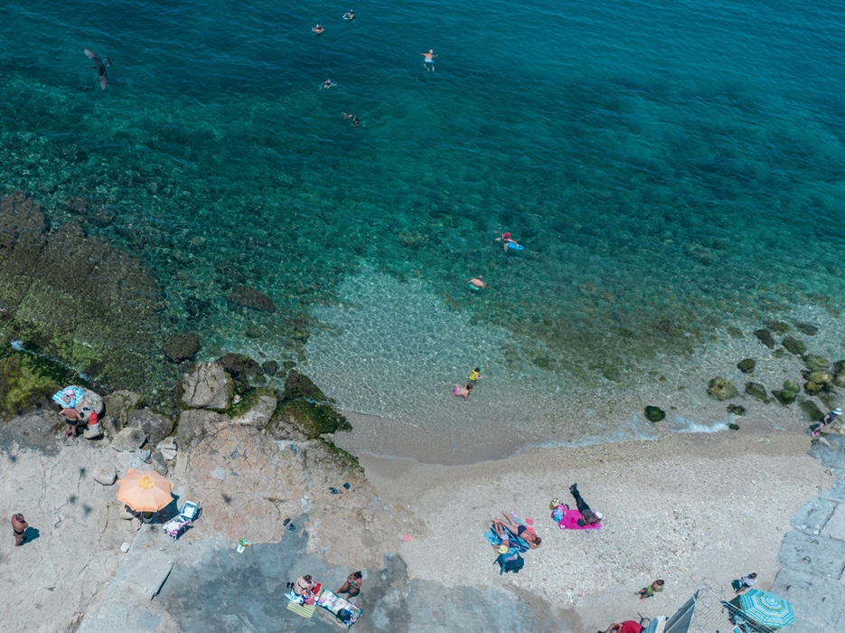
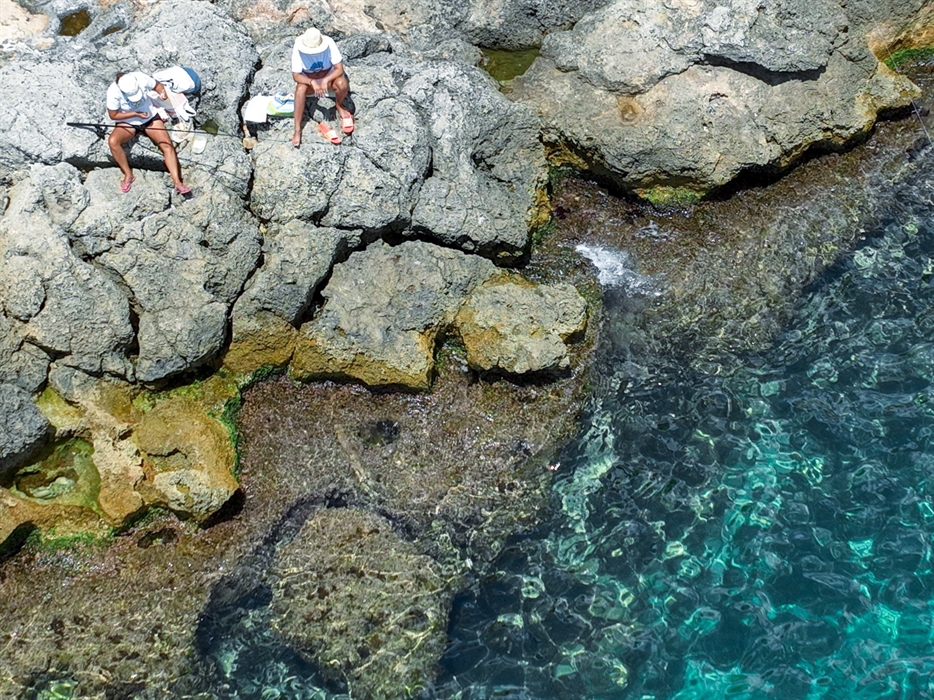
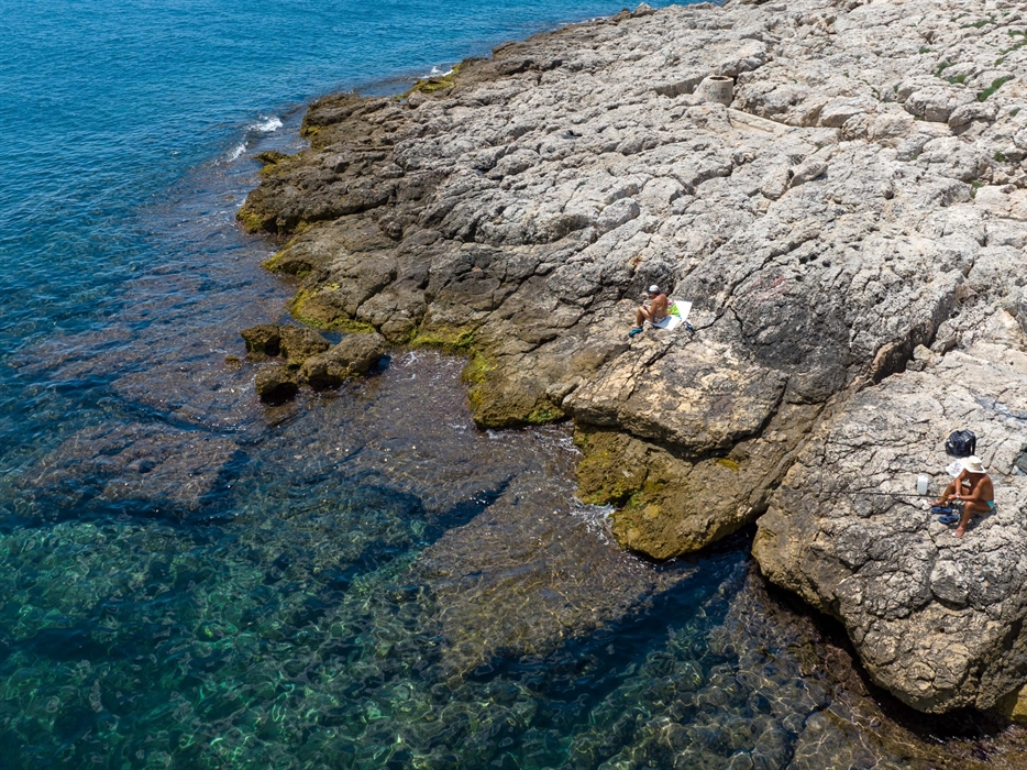
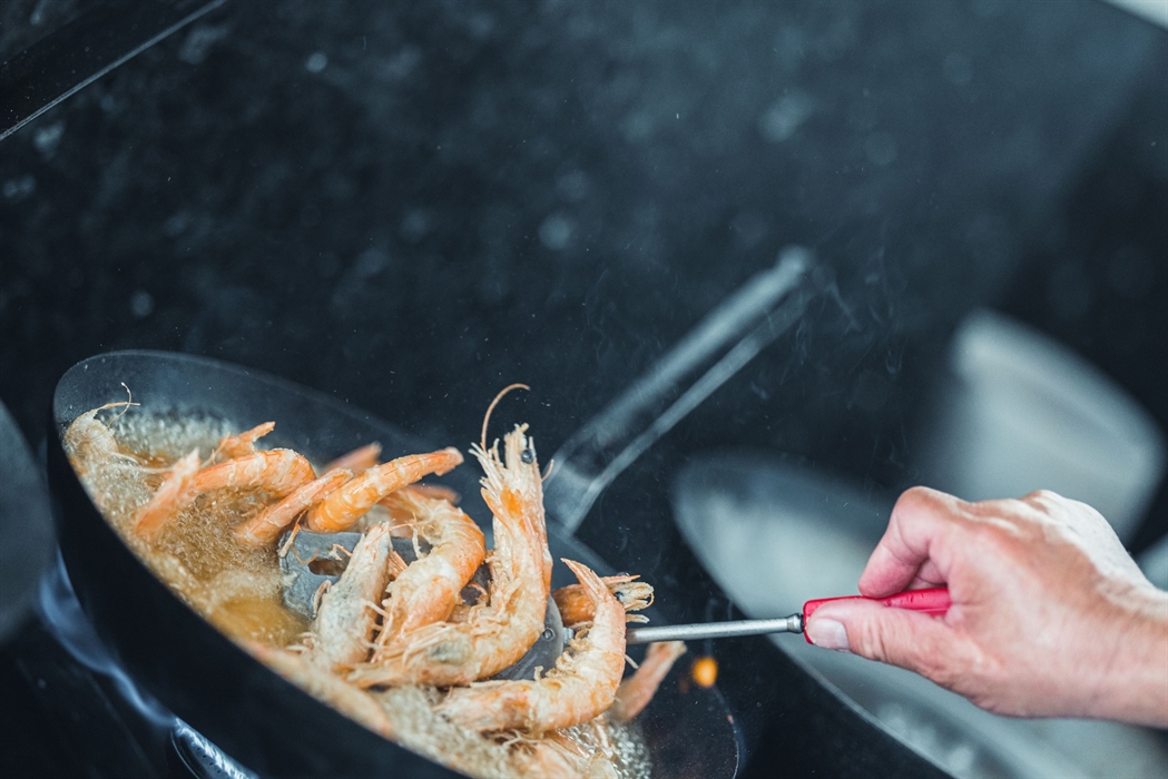
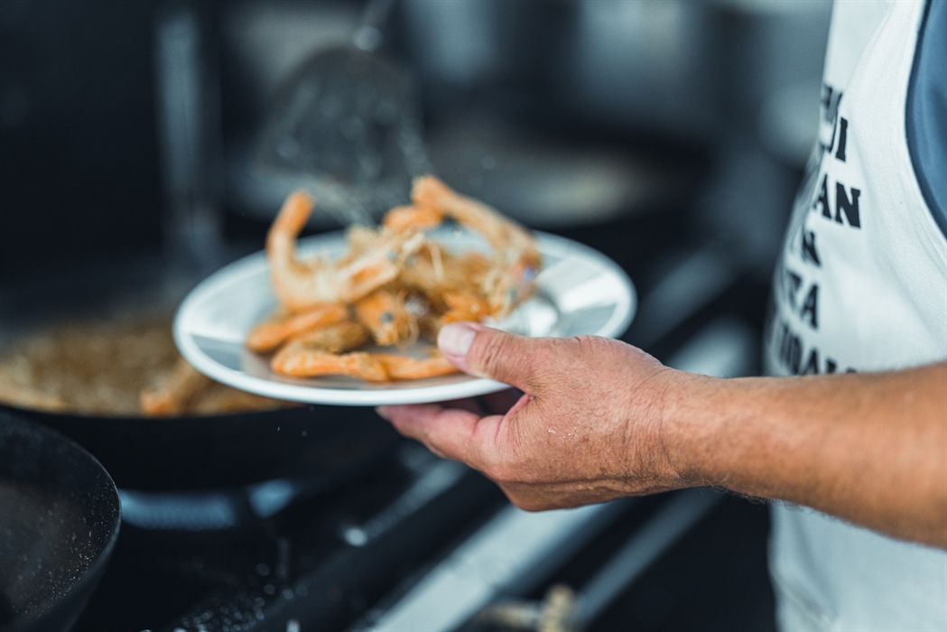
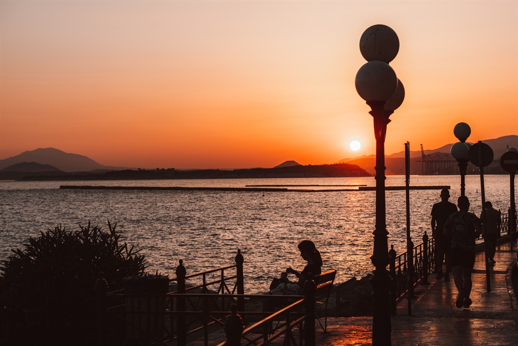
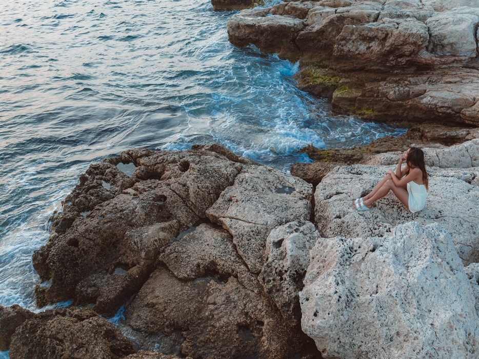
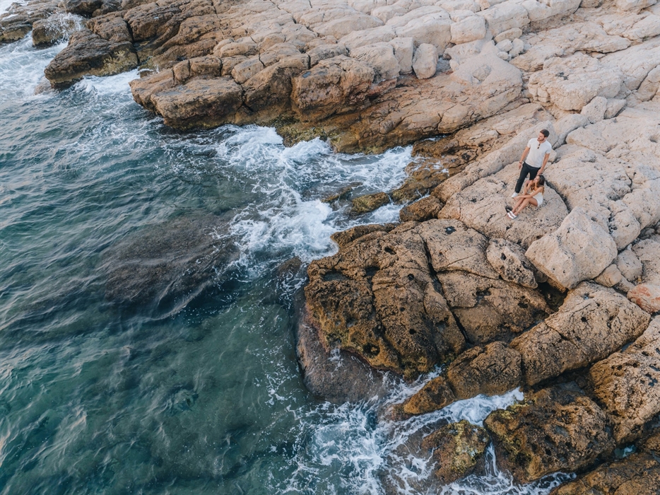
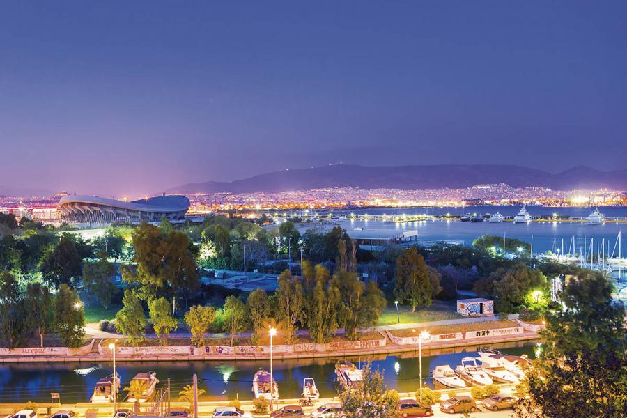
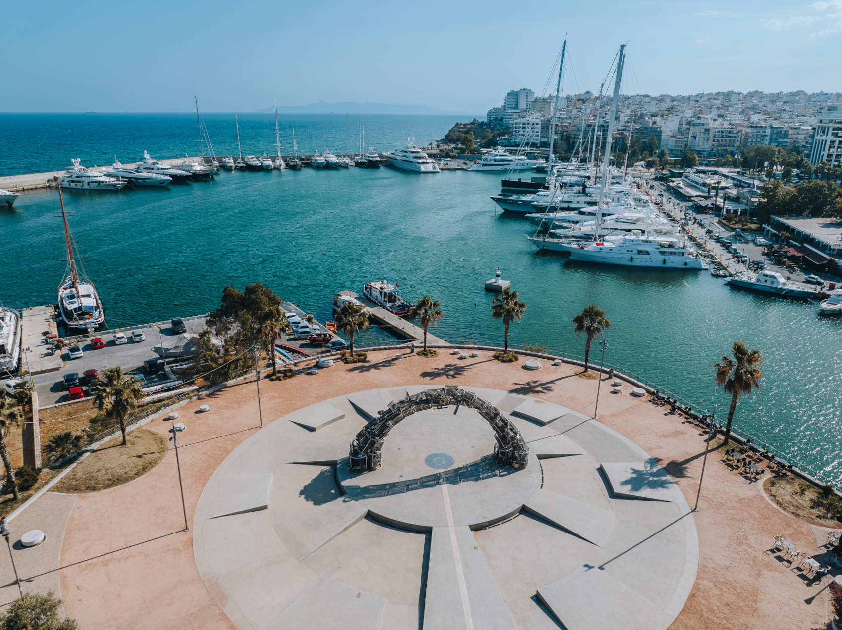
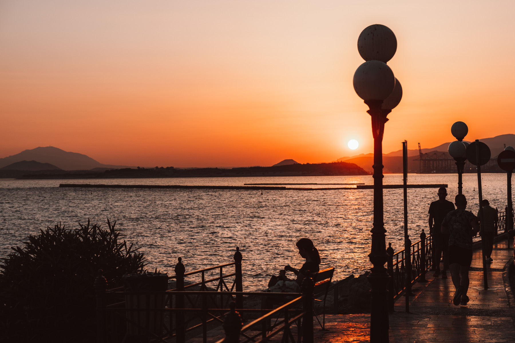
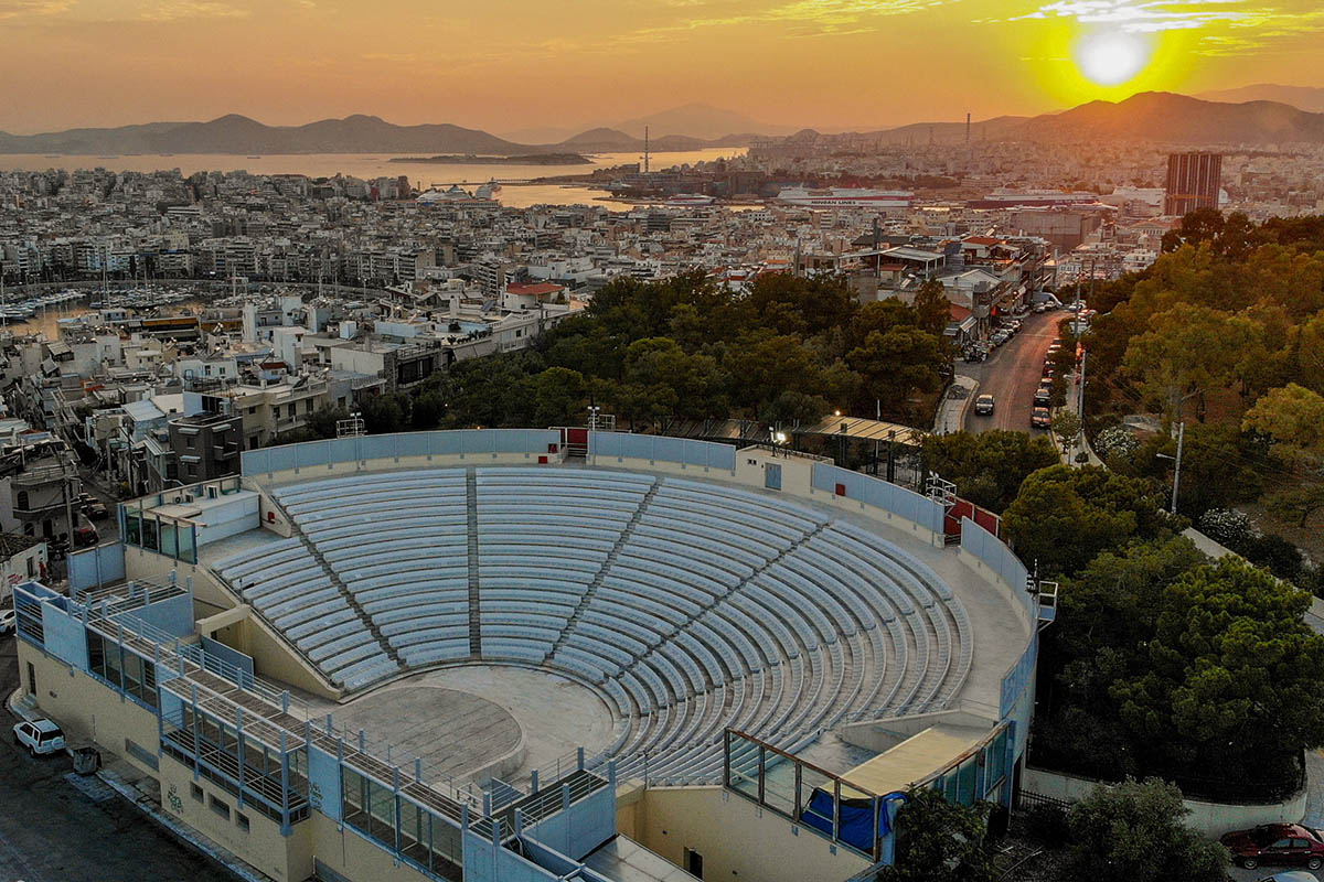
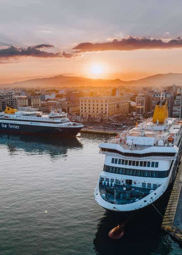
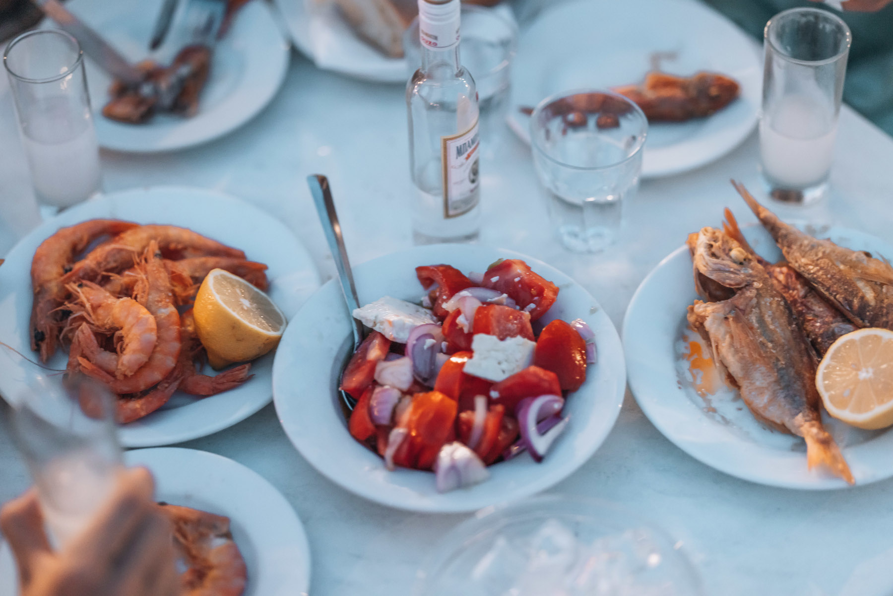
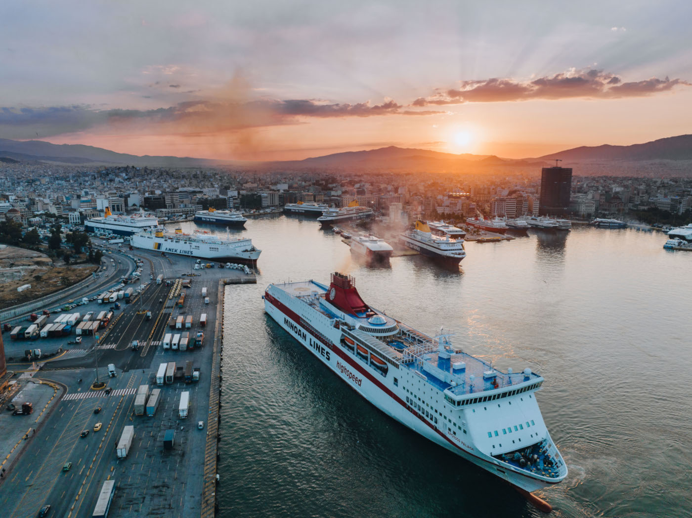
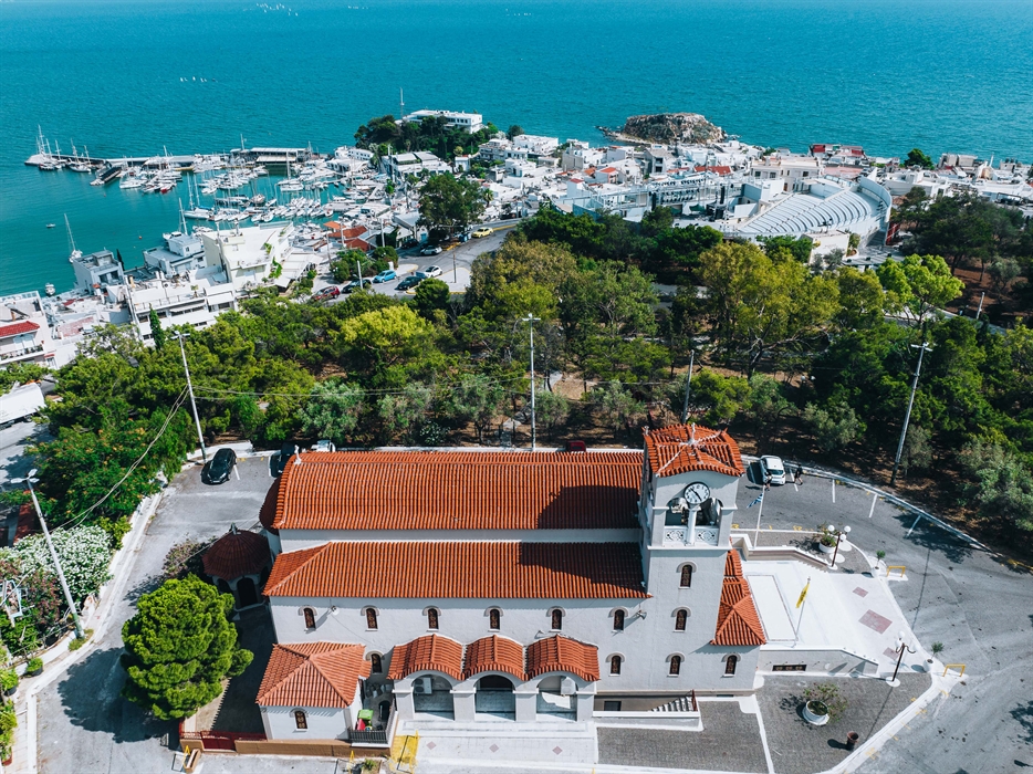
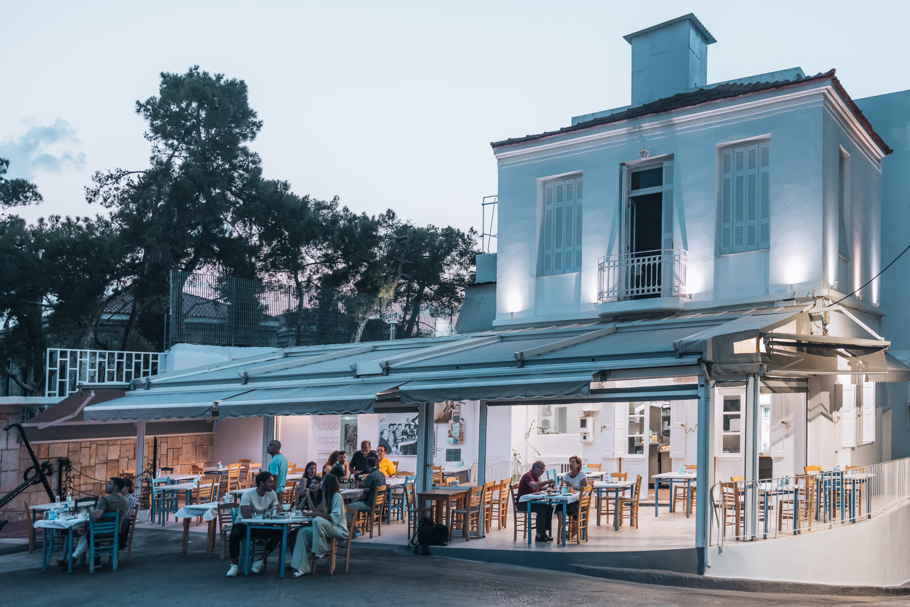
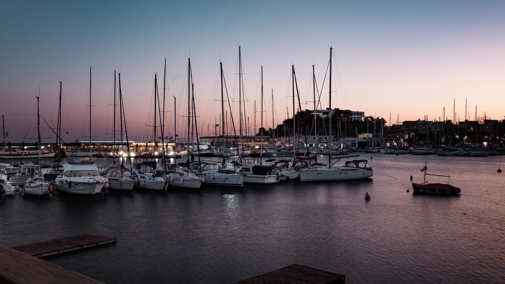
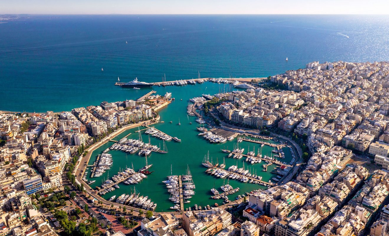
Still warm from the sun, the rocks of Piraeus, with the Aphrodite Cove where the Cross stands and the "island-style" chapel of Saint Nicholas, invite you to take a break. As do the seafood flavors in the restaurants and taverns along the coast. As for swimming, you don't need to go far: Freattyda Beach, with its organized beachfront, is a small summer paradise within the city. You'll feel refreshed and await... And there, the sun sets in the west, revealing a palette of colors that is hard to describe in words.
Nature and people seem to celebrate every day on this peninsula. Your steps mentally connect with those of people who have lived here in all phases of history, including earlier, in prehistoric times.
Excavations have shown that the Peiraiki peninsula (and the area of present-day Kastella) was inhabited in the prehistoric period. In fact, to the north of the peninsula, in a place called Stavros, underground buildings carved into the rocks, known as "gods' houses," were preserved.
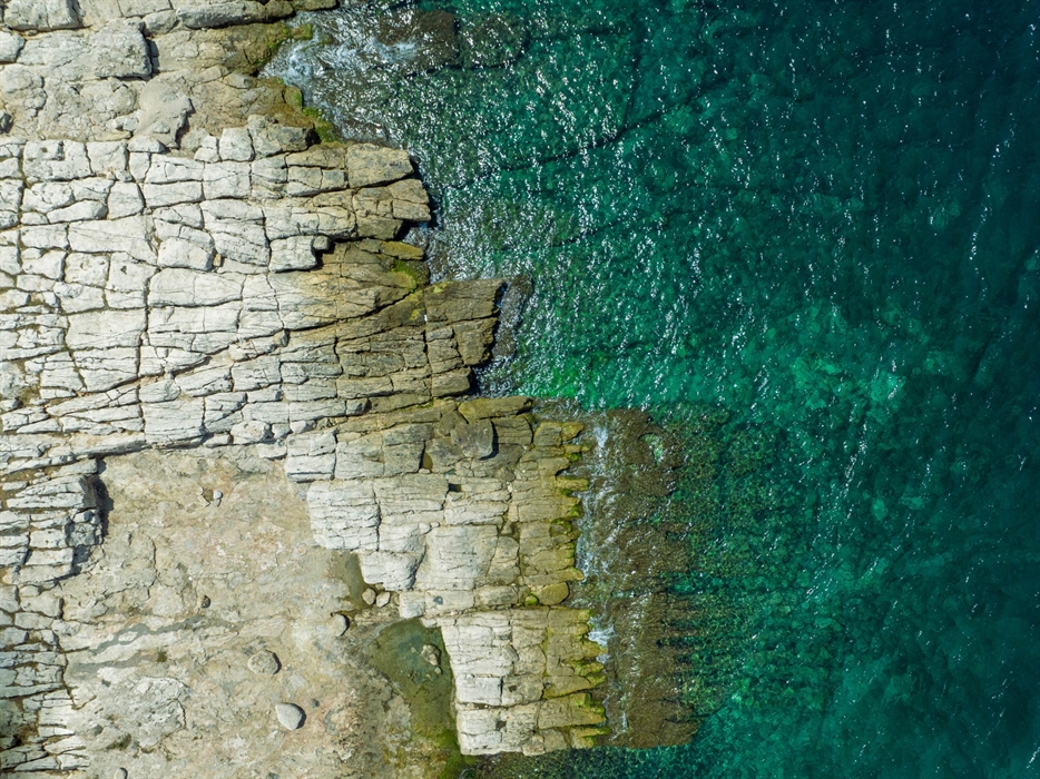
The coastal road that connects Peiraiki with Freattyda is called Themistokleous Street, in honor of the intelligent politician and general who, along with Pericles, envisioned and implemented the famous triptych of Fortifications, Naval Base, and Commerce in the port of Piraeus. The original name of the Peiraiki peninsula was Akti (Coast). Thanks to its quarries, the ancient Piraeus was built, and large port works were completed. The material used was the "aktitis" stone, a type of porous limestone in an ocher color (marly stone), which can be easily carved. The large rectangular stones from the quarries helped in the rapid construction of the walls.
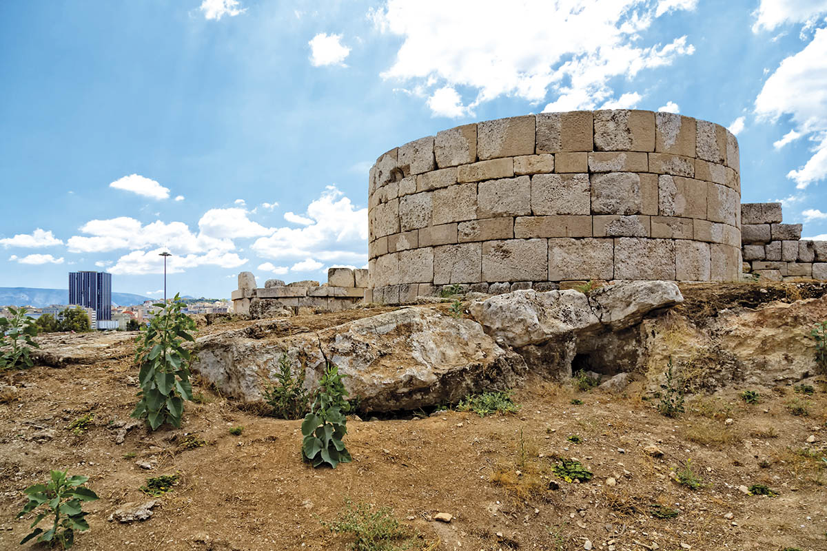
The Themistoklean walls of Piraeus were demolished after the defeat of the Athenians in the Peloponnesian War by the Spartans. They were much smaller in size than those that were subsequently reconstructed with the initiative of the Athenian general Conon between 394-391 BCE. These walls surrounded the entire Piraeus, reaching the southern mouth of the main harbor (Kantharos). Together with the towers at various points, they blocked any possibility of landing. Imagine what a striking sight they must have presented, especially when seen by invaders from the sea! The coves formed in Piraeus were likely not used for ships as they were outside the walls and unprotected from the southern winds.
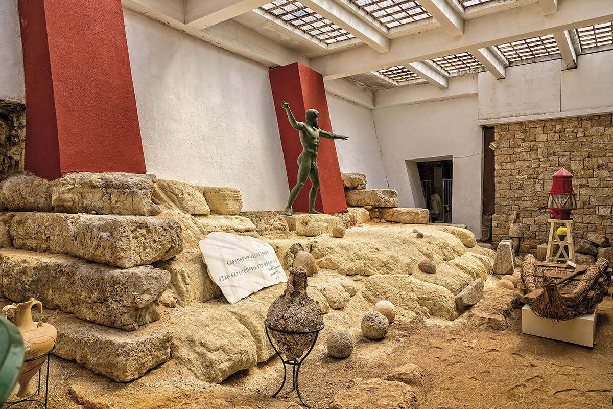
Remnants of the Cononian Walls are found on the cliffs of the peninsula at various points. A small portion of them is on display at the Maritime Museum of Piraeus
A change of era came. Until the end of the 19th century, the Peiraiki peninsula remained barren, desolate, and rocky. It started to develop in the first decades after World War II when the asphalt road to Freattyda and Pasalimani was constructed, along with the large I. Chatzikyriakou Avenue. The ruins of the Cononian walls were turned into ouzeries and social centers of the time. In the 1950s and 60s, it became a beloved destination for ouzo by the sea and leisurely walks. Between 1983-86, the promenades, railings, green areas, and benches were added.
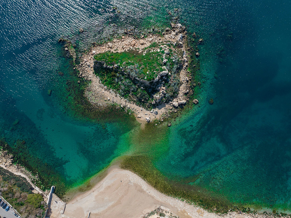
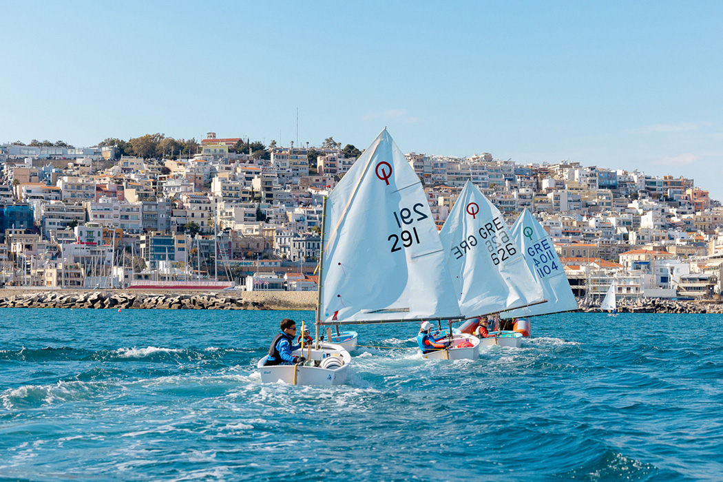
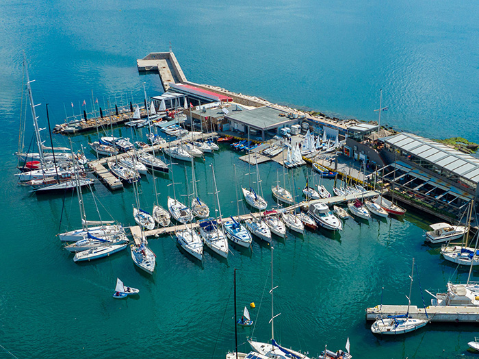
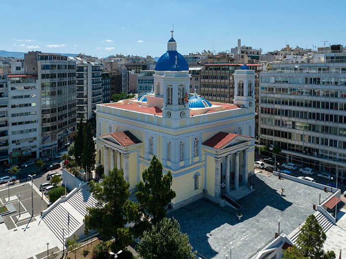
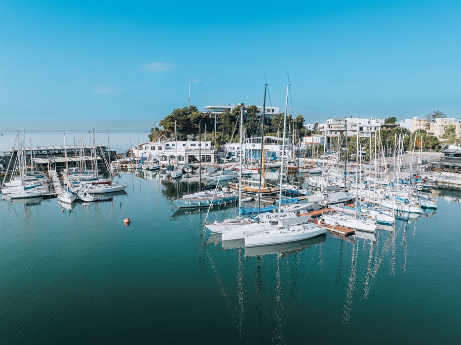
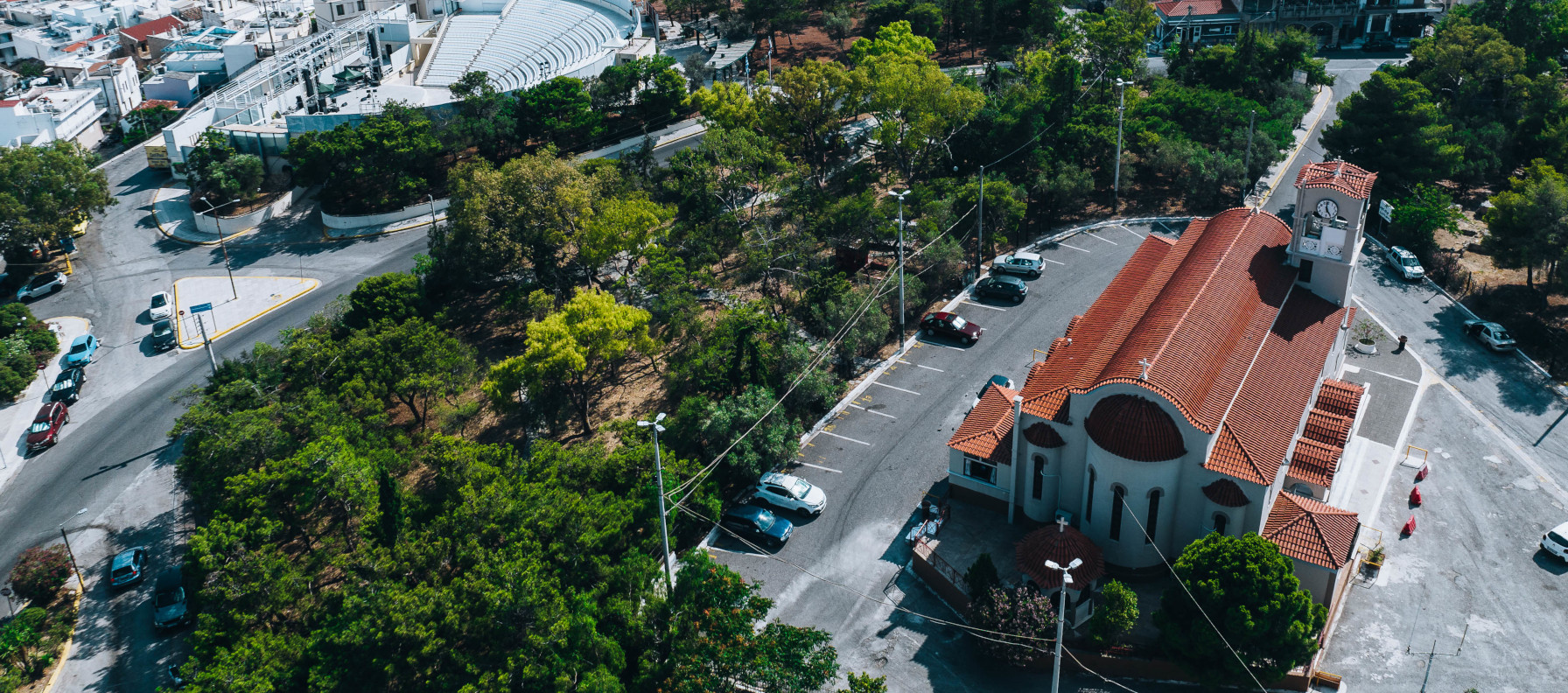
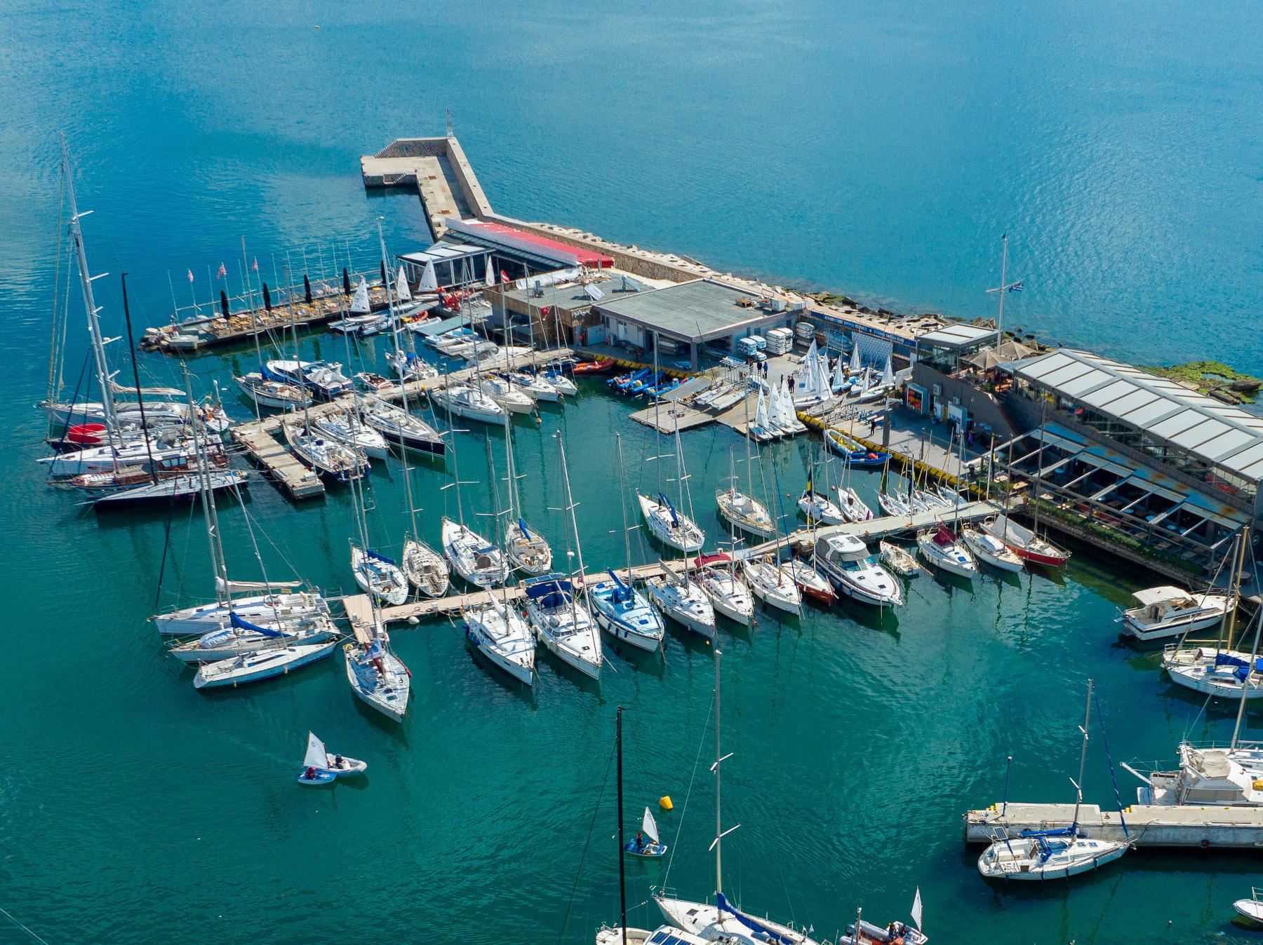
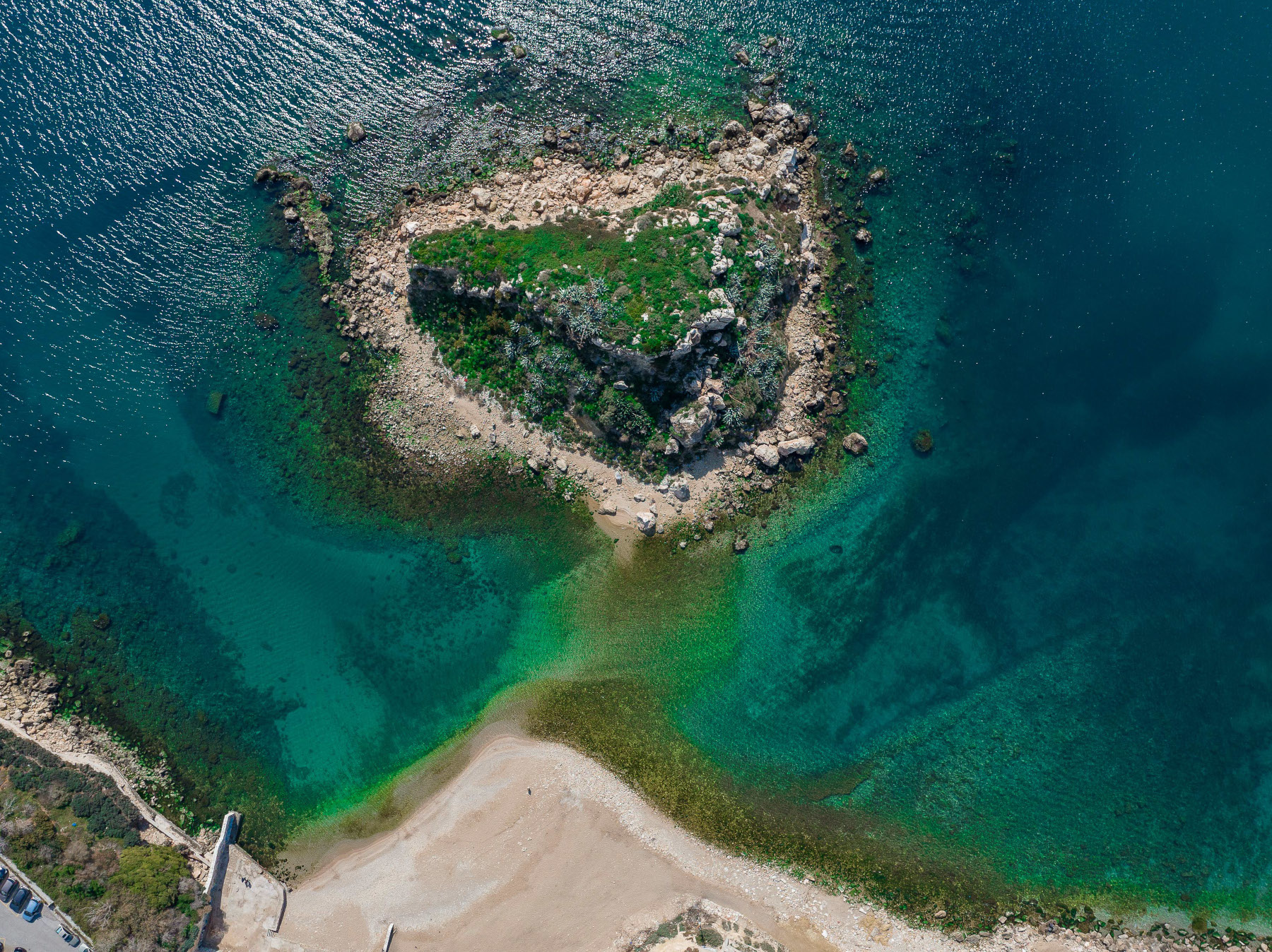
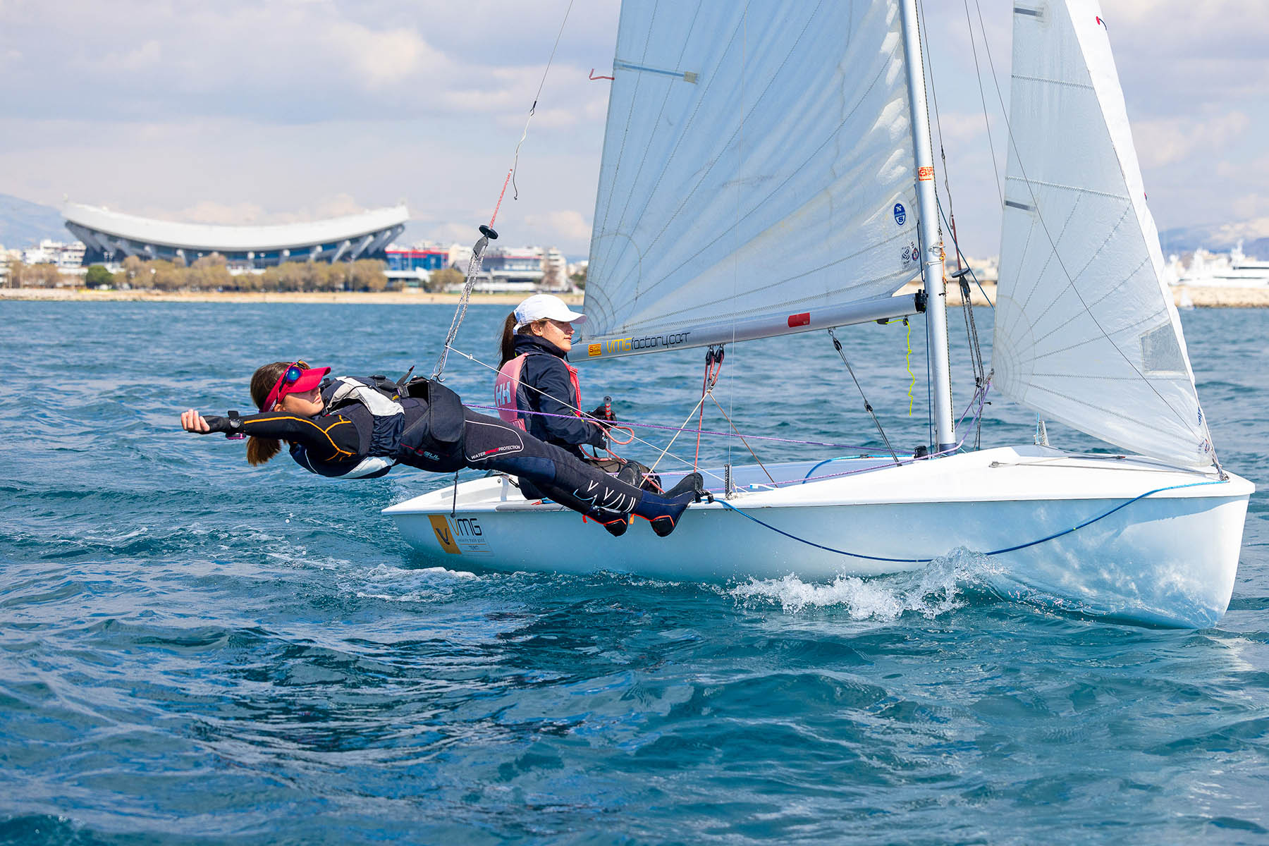
Aphrodite Cove. It's the most beautiful point along the route through Piraeus, and here you will see once again the ruins of the Cononian Wall. The chapel of Saint Nicholas, celebrating on December 6th, will "transport" you to a Cycladic island, especially if you see the rocks filled with well-dressed people; you should know that they are guests at weddings and christenings that often take place here. In front of the chapel stands the large concrete Cross of Piraeus, the monument of the Unknown Sailor, since 1977 the Sailing Club "Agios Nikolaos" has its headquarters in the cove.
Information…
Four coves exist in Piraeus: Freattyda, Louviari (or Skafaki), Baikoutsi (or Aphrodite), and Scholi Dokimon (or Telegraph).
In 1982, when the Minister of Culture was Melina Mercouri, the Cononian Wall was revealed and restored, and the archaeological site was designated.
On the Aphrodite Cove, on Epiphany (Theophania), they throw the cross into the sea.
Location
Find the destination on the interactive map below. See on the map.


